Capture the moment.
Temperature, moisture, pH, EC and compatible nutrient channels, with connection and freshness checks.
NAAYA SOIL LITE / BY NINAVIS
Turn compatible soil readings into a useful field record—with location, context and clear next steps, even beyond cell coverage.
Preparing for field validation.
Planned market entry after December.
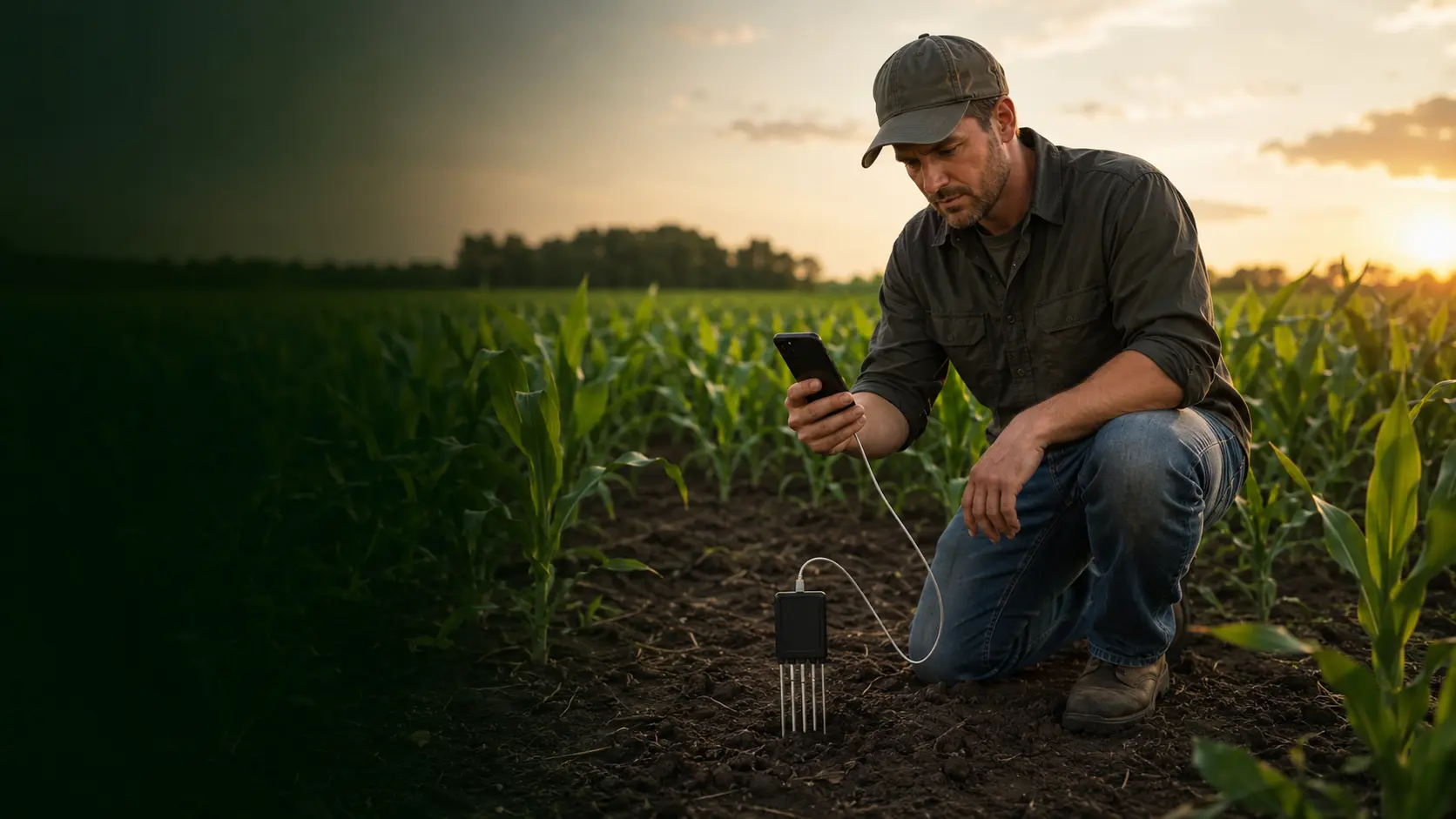
A FIELD TOOL WITH A CLEAR PURPOSE
A soil reading becomes more useful when you know where it came from, how it was taken and what changed since the last visit.
NAAYA Soil Lite brings the sensor workflow, saved sampling points and practical agricultural guidance together. It helps you investigate and keep track of your field—not turn an uncertain reading into a confident prescription.
Learn what each reading can tell you →Temperature, moisture, pH, EC and compatible nutrient channels, with connection and freshness checks.
Organized guidance that separates reading quality, possible meaning and practical follow-up.
Named points, location quality, crop notes, saved answers and portable CSV records.
THE APP, IN YOUR HANDS
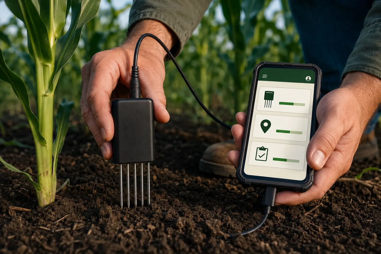
Explore the workflow below. This interactive preview uses fictional sample data and does not connect to a sensor.
A CONNECTION YOU CAN SEE
Choose a compatible USB or Bluetooth sensor inside the app. Connection alone is not the same as a usable reading.
The Bluetooth workflow connects in the app. Manual pairing in phone settings is not required for the verified BLE profile.
 INTERACTIVE PREVIEW
North field / Point 03
Recent sample readings. Screening only.
+3.6 percentage points. Check whether depth and conditions are comparable.
BUILT FOR THE FIELD
Keep measuring, reviewing records and using the offline advisor when cell service disappears. Optional connected features add context when a connection is available.
| Task | Offline | Connected |
|---|---|---|
| Compatible sensor readings | Yes | Yes |
| GPS & field compass | Yes* | Yes* |
| Local advisor checklists | Yes | Yes |
| History & CSV | Yes | Yes |
| Weather & optional online advisor | — | When configured |
*Satellite reception and phone permissions are still needed. Map imagery and external route availability depend on the maps app and downloaded coverage.
FROM A PROBLEM TO A BETTER QUESTION
Compare root-zone moisture, irrigation delivery and field notes before assuming the whole field needs more water.
Investigate the pattern ↗READING QUALITYSeparate a possible soil issue from poor contact, an unverified channel or a device mismatch.
Understand the signals ↗FIELD MEMORYReturn to the same named point and compare the measurement with crop, depth and recent management.
Build a useful record ↗INTERACTIVE PRODUCT EXPERIENCE
Complete a two-minute sampling mission. You will choose a point, use the sensor correctly, capture five fresh packets and interpret the result the way NA∧YA does—in context.
STEP 01 · REPRESENTATIVE SAMPLING
Tap A, B or C in the animated field. Choose a location that represents the management zone; investigate unusual areas separately.
STEP 02 · CONSISTENT TECHNIQUE
STEP 03 · VERIFIED CAPTURE
NA∧YA waits for the compatible USB sensor, a recent GPS fix and five fresh packets. Each saved row keeps sensor mode, capture quality and visit coordinates.
This is a visual demonstration; no data leaves this page.STEP 04 · INTERPRET IN CONTEXT
Point, fixed and visit coordinates, GPS quality, eight sensor channels, field context, screening recommendations and advisor notes can all remain available offline and export to CSV.
EVIDENCE BEFORE PROMISES
The next step is controlled field validation: connection reliability, repeatability, location quality, clear translations and useful farmer feedback. Commercial availability will follow that work.
Read the sampling protocol →NAAYA supports soil screening and recordkeeping. It does not replace laboratory analysis, local agronomy advice or land surveying.
A FEW GOOD QUESTIONS
Only devices with a verified compatible protocol. The project includes the tested USB workflow and the observed GT BLE profile. A Bluetooth logo alone does not mean a sensor is compatible.
A zero can be real, unavailable or related to device behavior. The app marks affected channels for verification. Compare the same physical sensor in the manufacturer app under the same conditions; we do not fill missing channels with invented values.
The advisor provides checks and context. Fertilizer and lime rates require suitable soil tests and crop-specific, local recommendations. The app does not prescribe chemical doses.
No. Soil health includes physical, chemical and biological indicators. Use the sensor alongside field observations and appropriate tests. Read the USDA NRCS explanation.
App controls, guidance and new offline answers use the selected language. Eight language packs are included. Your field names, notes and saved answers keep their original wording.
Records are stored on the phone and can be exported. Online advisor requests share the question and field context with the provider you configure. Review exports before sharing because they can include location and sensor identifiers.
We are preparing for field validation, with planned market entry after December. This site is a product introduction and learning resource. It does not take orders or payments.
NINAVIS TECHNOLOGIES
We build sensing and software around practical work. With NAAYA, we are starting below the surface: helping people observe their soil carefully, preserve useful context and ask better questions.
HELP SHAPE WHAT COMES NEXT
Tell us what you grow, where you work and what makes soil monitoring difficult. Your experience can help shape the field-validation program.
hello@ninavis.com ↗